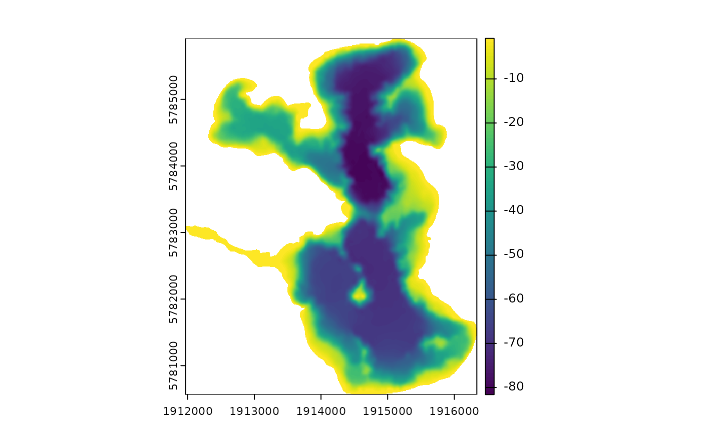
Get the shoreline from a bathymetric raster
get_shoreline.RdGet the shoreline from a bathymetric raster
Examples
shoreline <- readRDS(system.file("extdata/rotoma_shoreline.rds",
package = "bathytools"))
depth_points <- readRDS(system.file("extdata/depth_points.rds",
package = "bathytools"))
bathy_raster <- rasterise_bathy(shoreline = shoreline,
depth_points = depth_points, crs = 2193, res = 8)
#> Generating depth points... [2025-08-25 02:34:59]
#> Finished! [2025-08-25 02:34:59]
#> Interpolating to raster... [2025-08-25 02:34:59]
#> Adjusting depths >= 0 to  -0.82 m
#> Finished! [2025-08-25 02:35:00]

shoreline2 <- get_shoreline(bathy_raster = bathy_raster)